
Facility digitization
Organize scanned building structure into floors, walls, openings, surfaces, and other modeled elements.
Spatial intelligence · built environment
Turn captured 3D scan data into structured building geometry for defense planning, training, and simulation workflows.
Primary capability
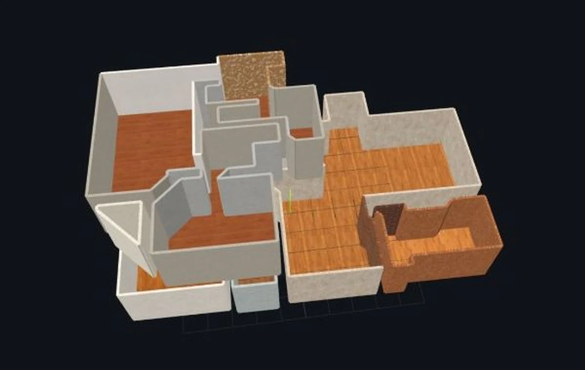
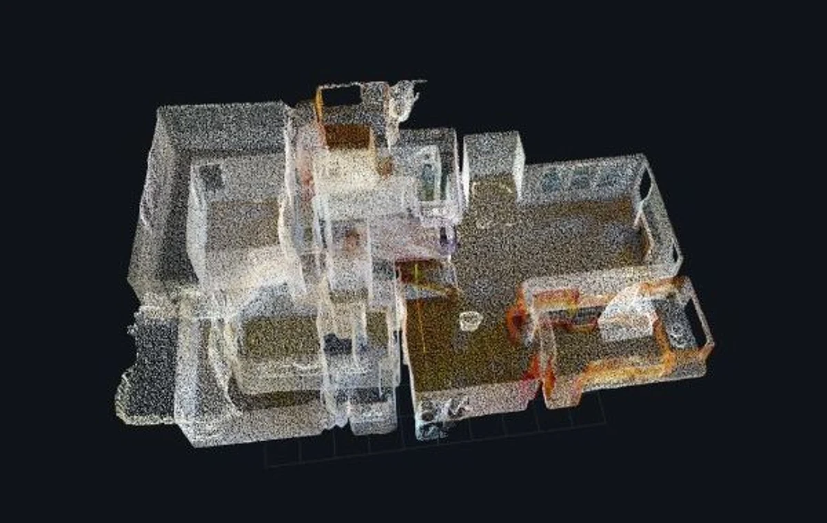
Our pointcloud-to-CAD work converts observed spaces into organized building geometry. The current pipeline reconstructs structural elements, openings, surface information, and MEP geometry for review and downstream modeling.
Start with captured XYZ point data from common point-cloud file formats, with colour where available.
Reconstruct floors, walls, door openings, surfaces, and pipe systems from the observed geometry.
Carry organized building geometry into planning, training, simulation, and continued CAD/BIM work.
Current technical scope
Applications
Structured geometry from captured spaces can support teams that need a usable spatial reference instead of a raw scan alone.
Organize scanned building structure into floors, walls, openings, surfaces, and other modeled elements.
Use reconstructed environments as spatial context for walkthroughs, planning, and mission-rehearsal workflows.
Identify pipe points, group physical pipe instances, and fit clean cylinder and elbow geometry.
Technology & deployment
Designed to turn captured or generated inputs into usable 3D environments, with each reconstruction stage inspectable on its own.
Separate reconstruction stages produce inspectable building elements rather than leaving teams with only raw points.
Structure, openings, surface information, and MEP geometry are handled as distinct but connected workflows.
Private deployment options with encryption in transit and at rest, and role-based access control.
Trust & procurement
Limit Labs works through recognized defense innovation and procurement channels.
Security posture

Company resources
Review the existing Limit Labs defense materials, or contact us to discuss a scan-to-BIM requirement.
Additional capabilities
Our generative products remain available as secondary tools for synthetic interiors and outdoor environments.


Generate furnished interior scenes from floorplans for virtual-environment workflows.
Open Roomseed

Generate larger outdoor environments with terrain and placed 3D assets for simulation and training.
Open WorldseedGet in touch
Tell us about the capture, the environment, and the downstream workflow. We will tell you plainly what is in scope today and what is still in development.